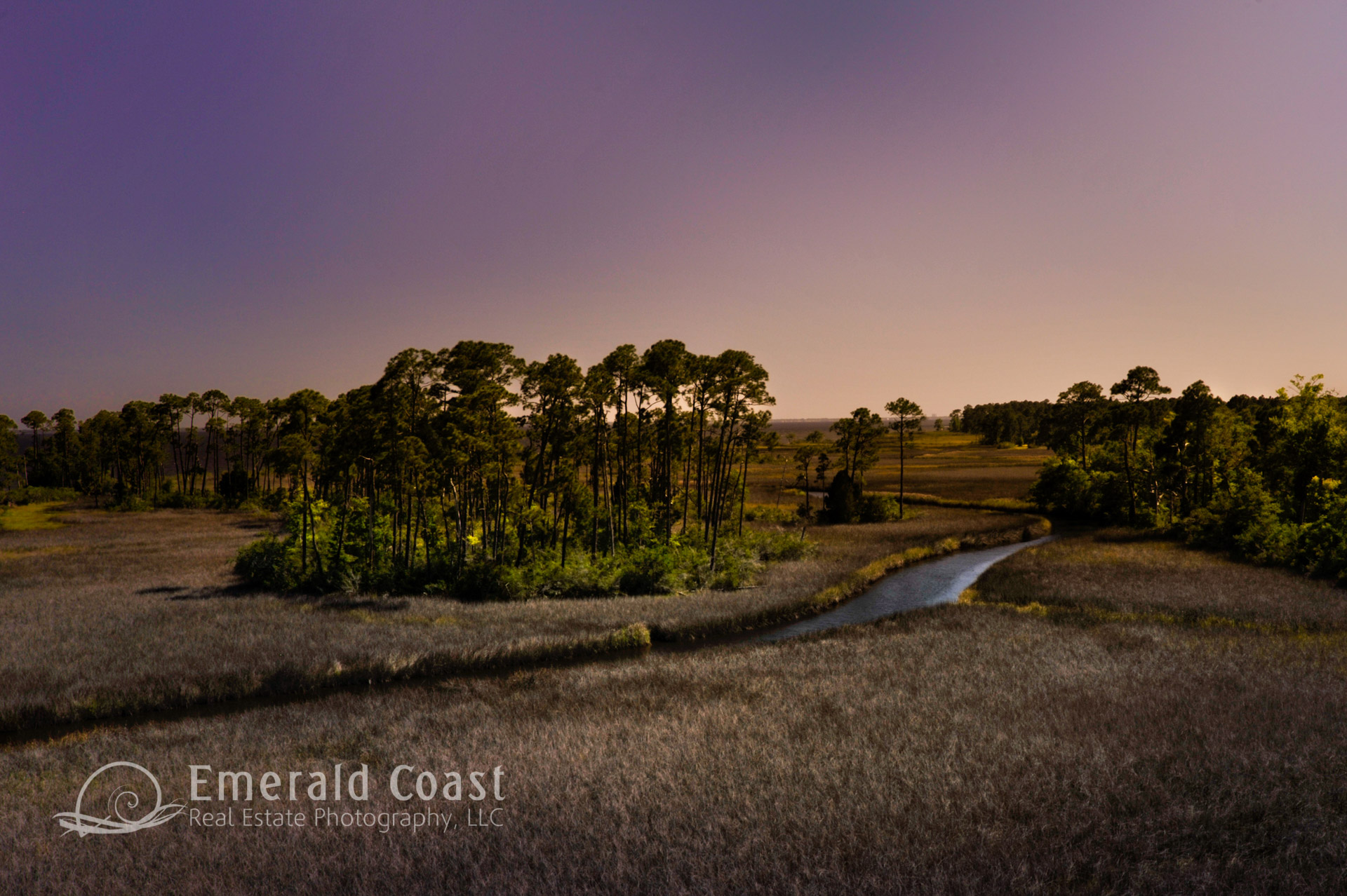
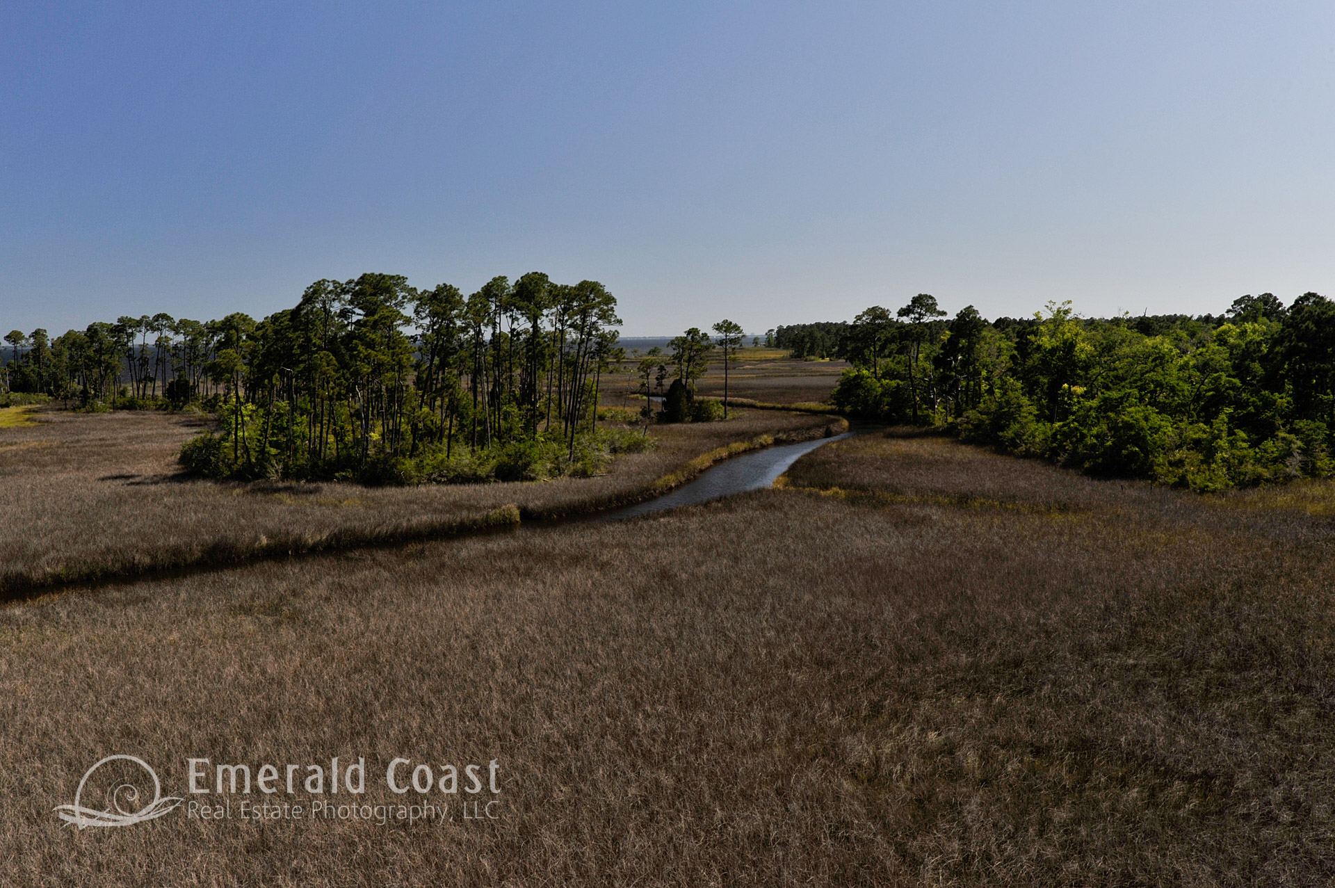
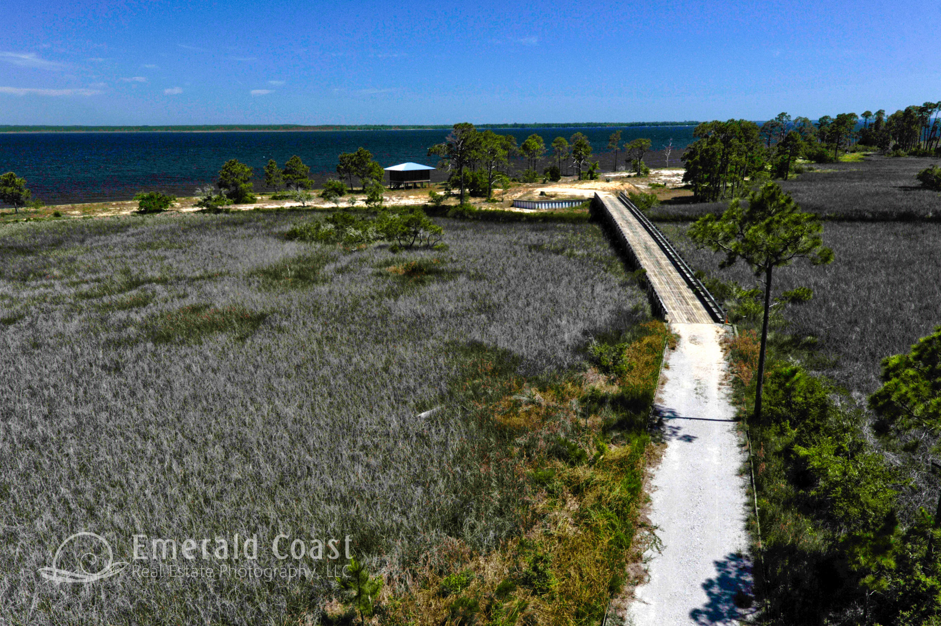
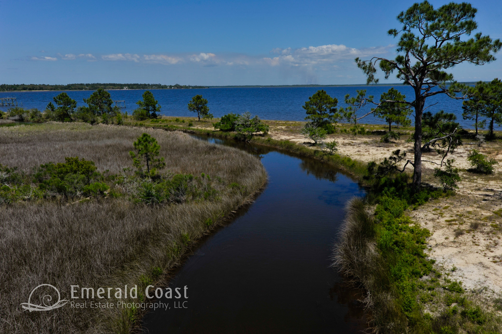
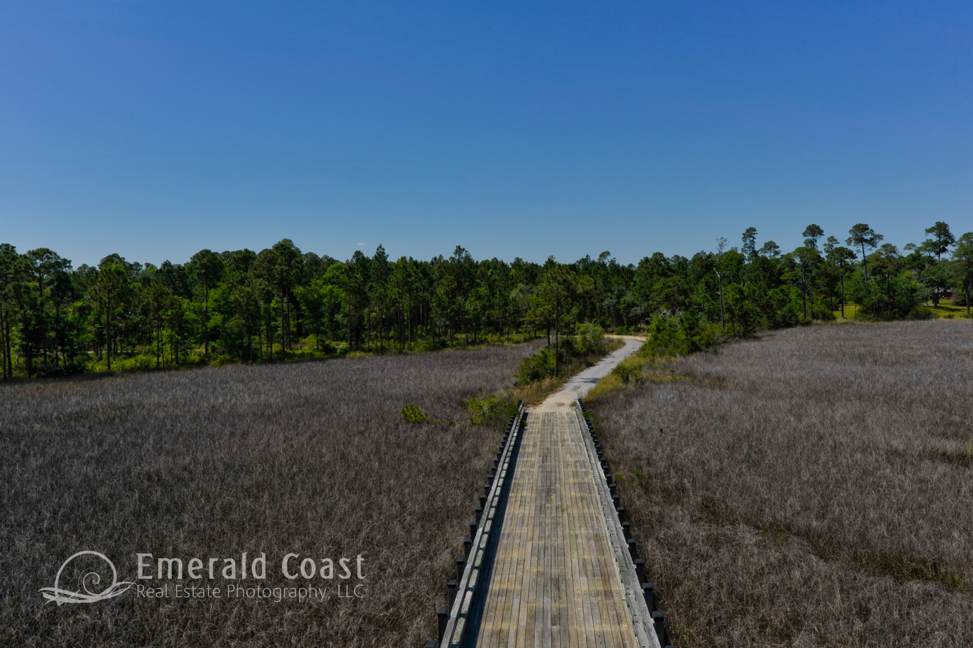
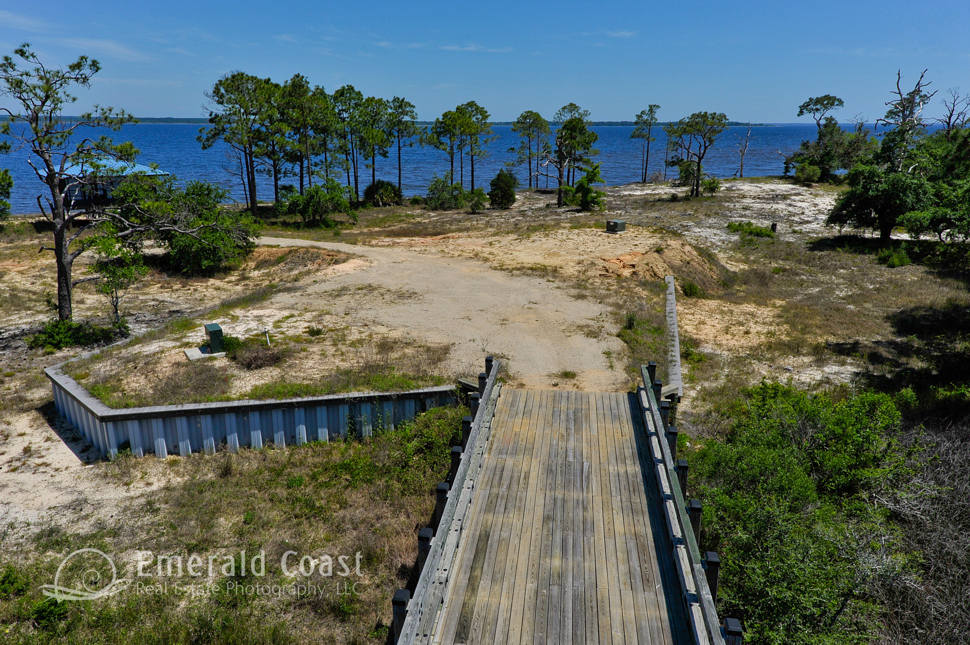
Undeveloped Land – Low-Altitude Aerial Photography
Tell the story of your property with low-altitude aerial photography. Our unique mast system gives you views that are not possible from the ground or an aircraft. We can highlight the unique features of your property with our low- altitude aerial panorama images. When you hire us, you won’t have to say, “the pictures just don’t do it justice.”
Aerial Photography – Pre-Construction Photography
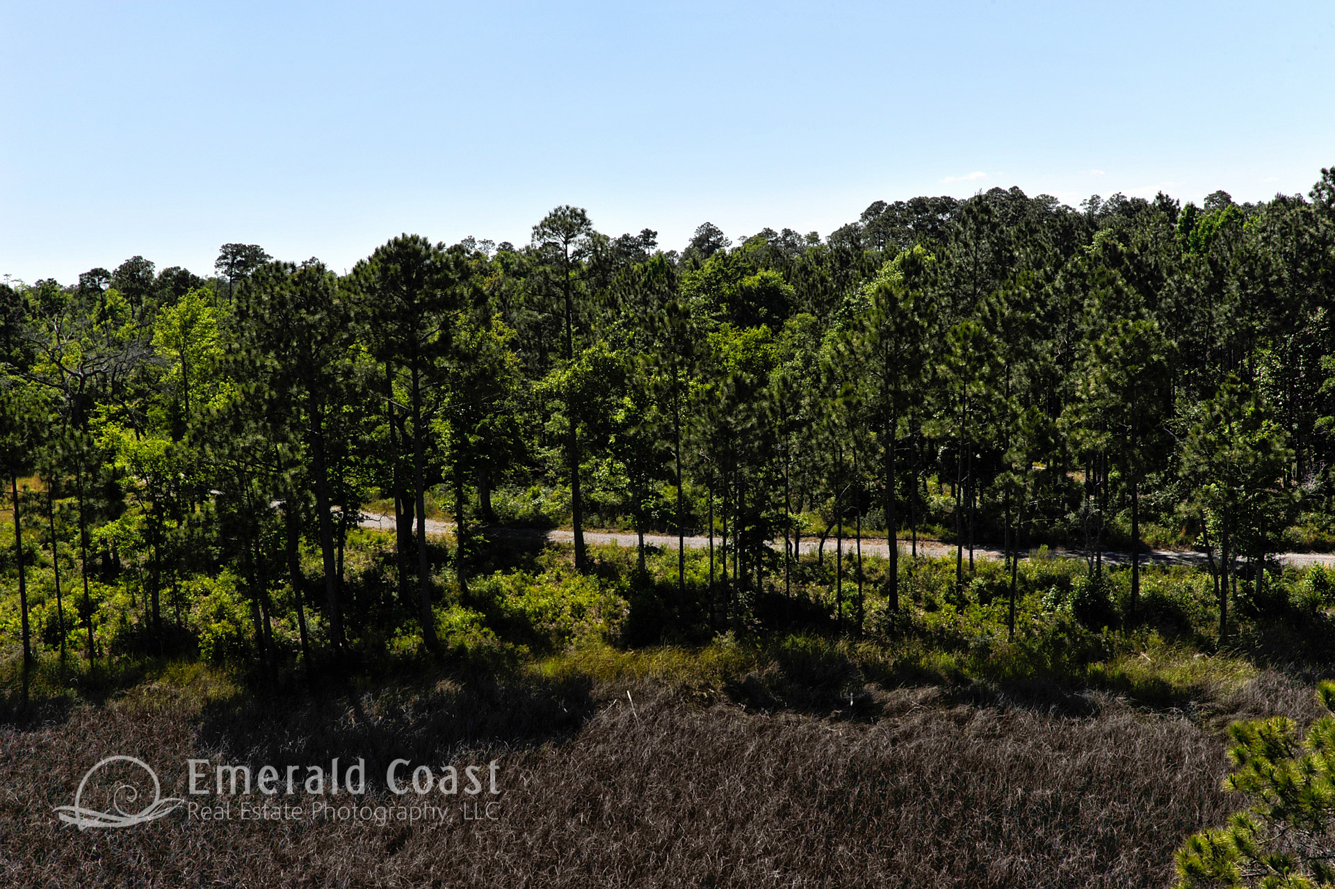
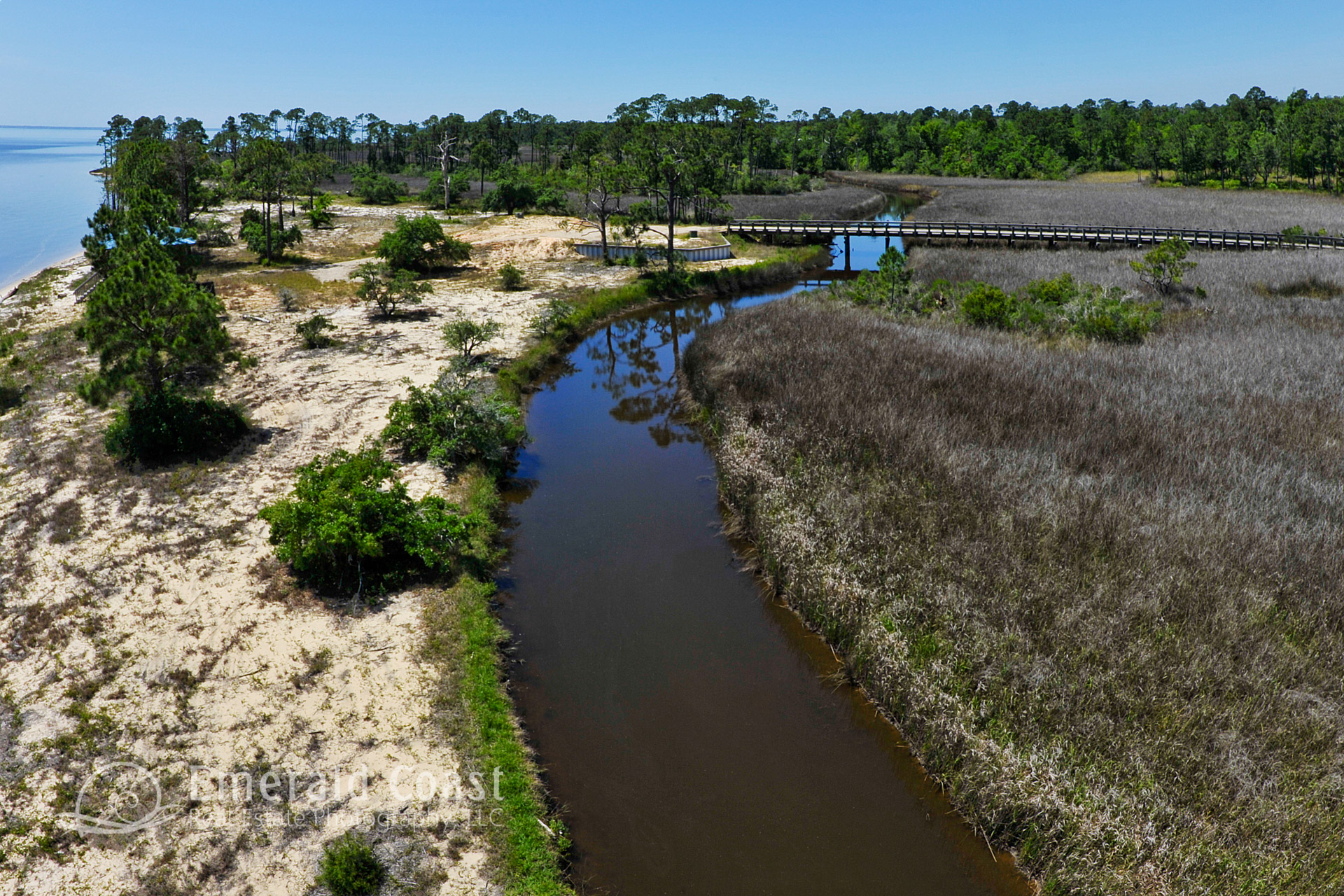
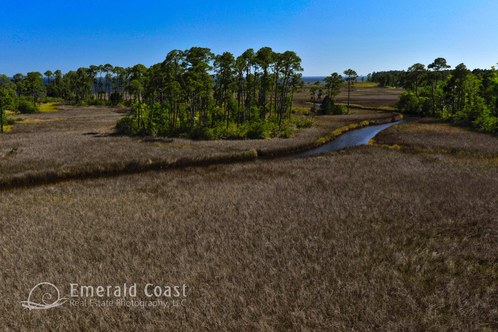
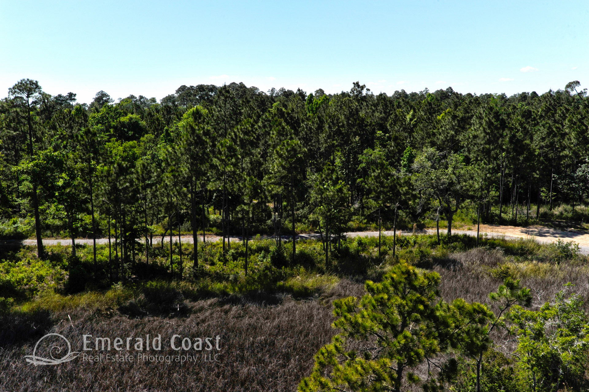
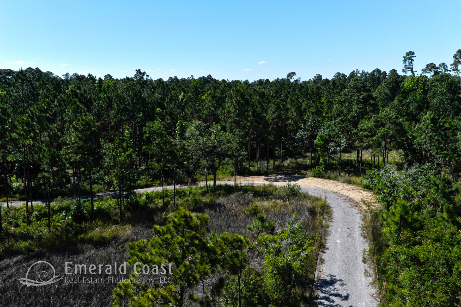
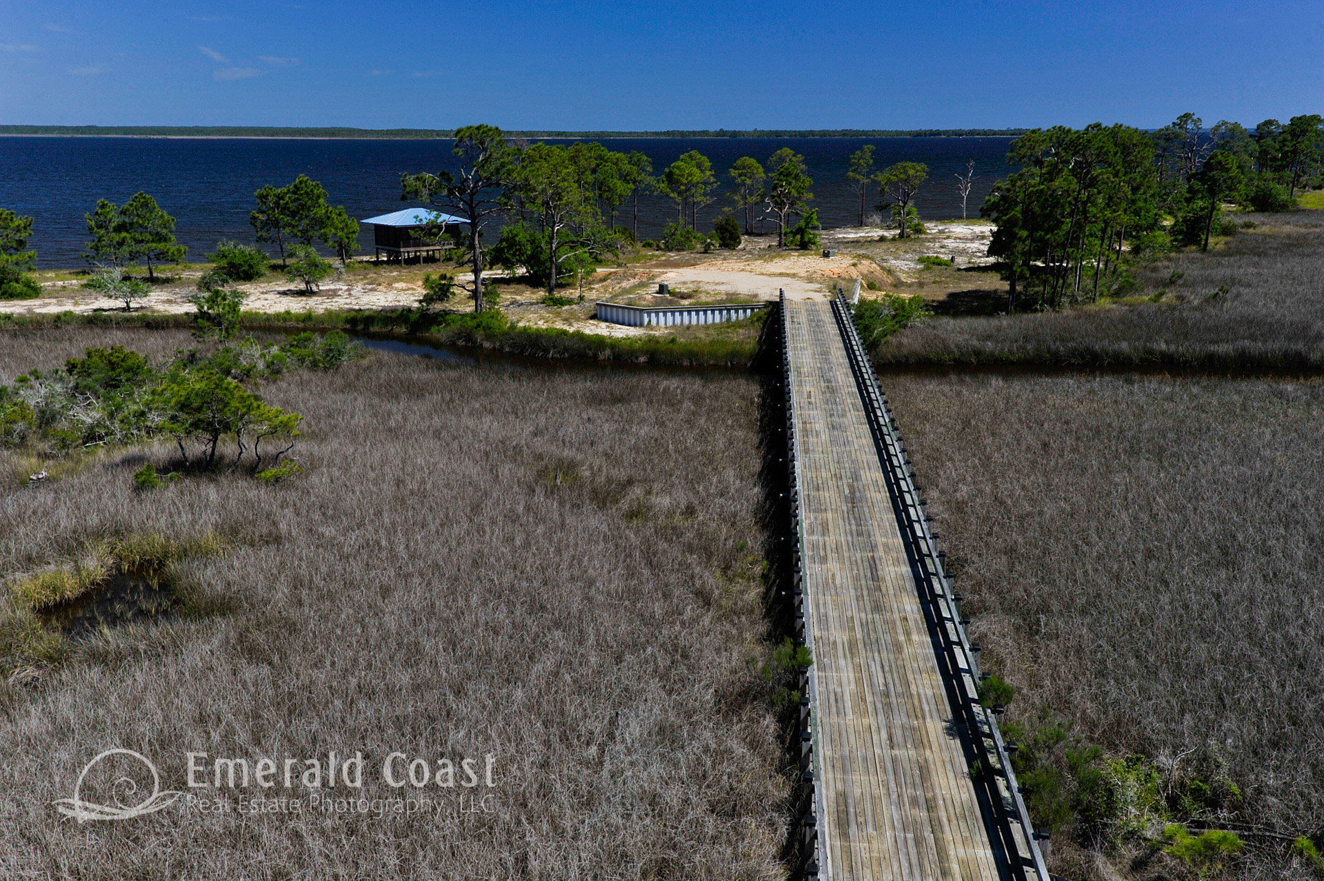
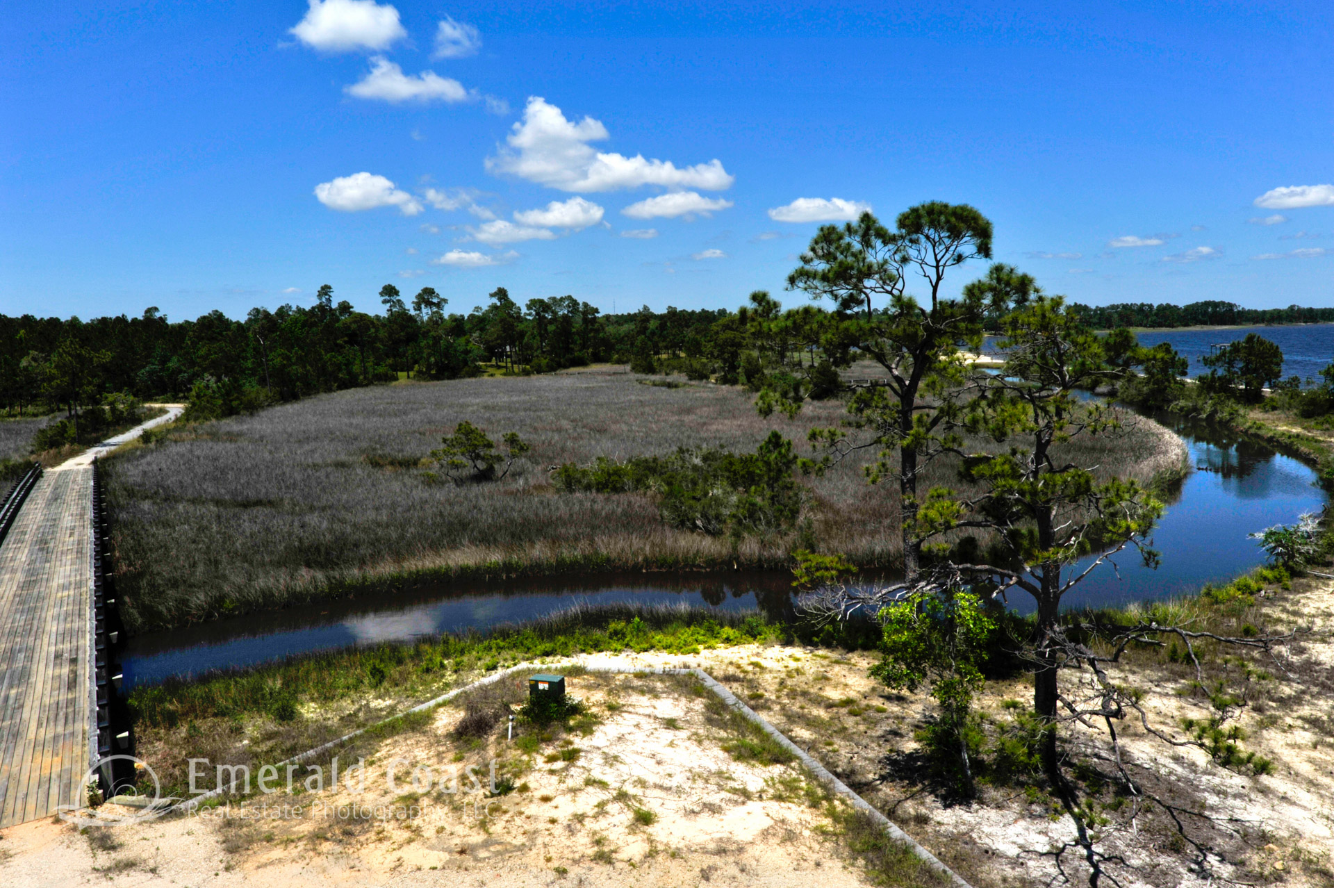
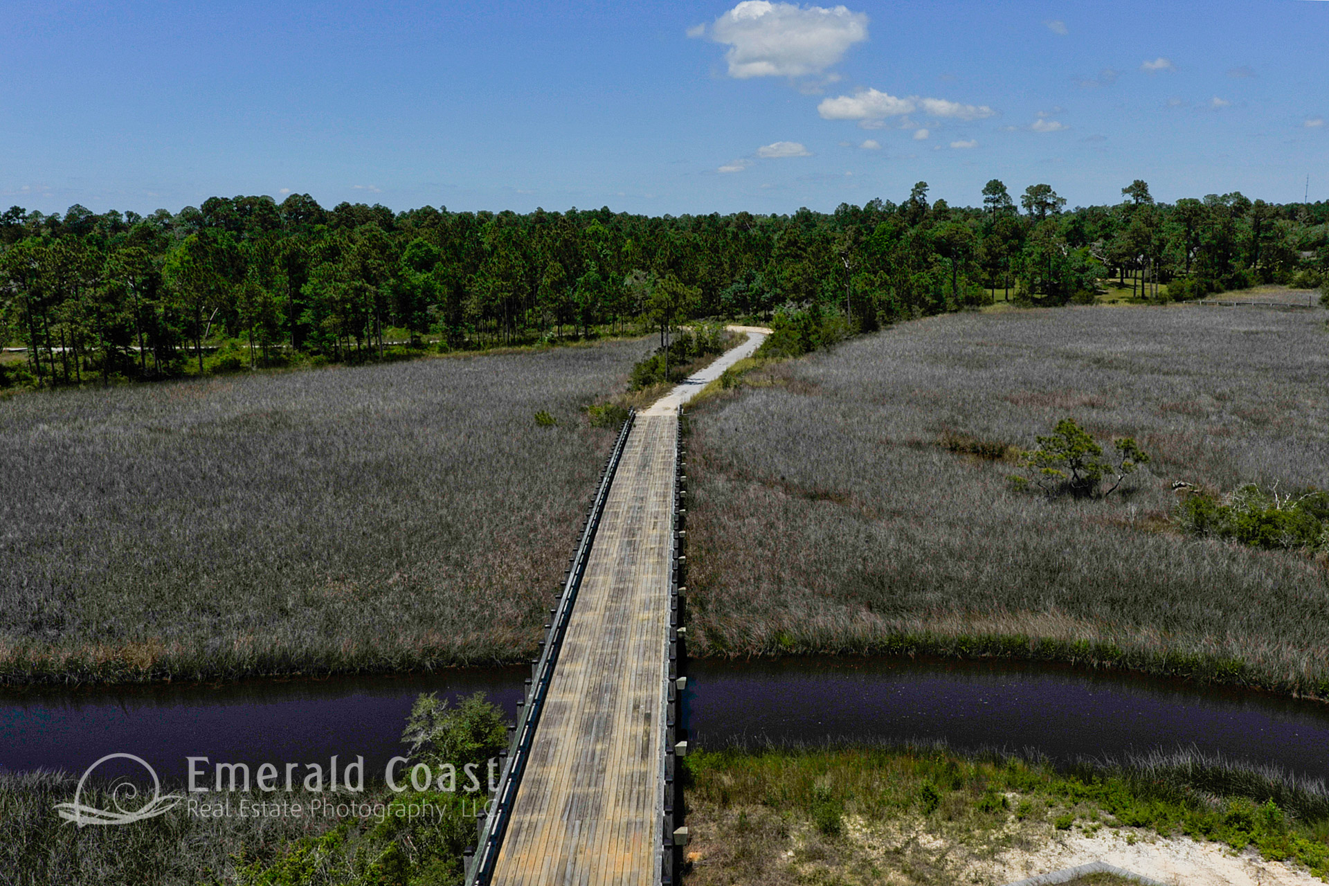
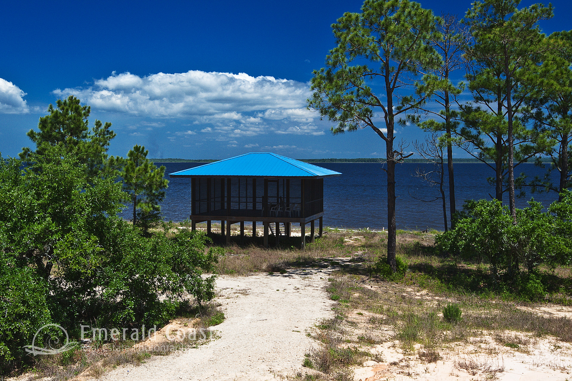
Aerial photography of an undeveloped parcel can serve many purposes. Low-altitude aerial photography can be captured from specific locations on site at elevations of 12 – 50 feet, providing marketing imagery that will approximate the views from the 2nd, 3rd, 4th and occasionally 5th floor, elevations of a completed project.
These images are great for site selection and lot-clearing decisions. They are often used as a background for architectural renderings and views out of windows and doors of the renderings.
One of the most valuable uses of Low-Altitude Aerial Photography is for pre-sale marketing, enabling the sales and marketing team to show the views before breaking ground on the project.
Flight-based aerial photography can easily capture the size and scope of larger parcels, aiding the site selection, investment, and lot/land clearing phases of the development process. The aerial images can be enhanced with overlays and labels, highlighting surrounding streets, features or nearby parcels.