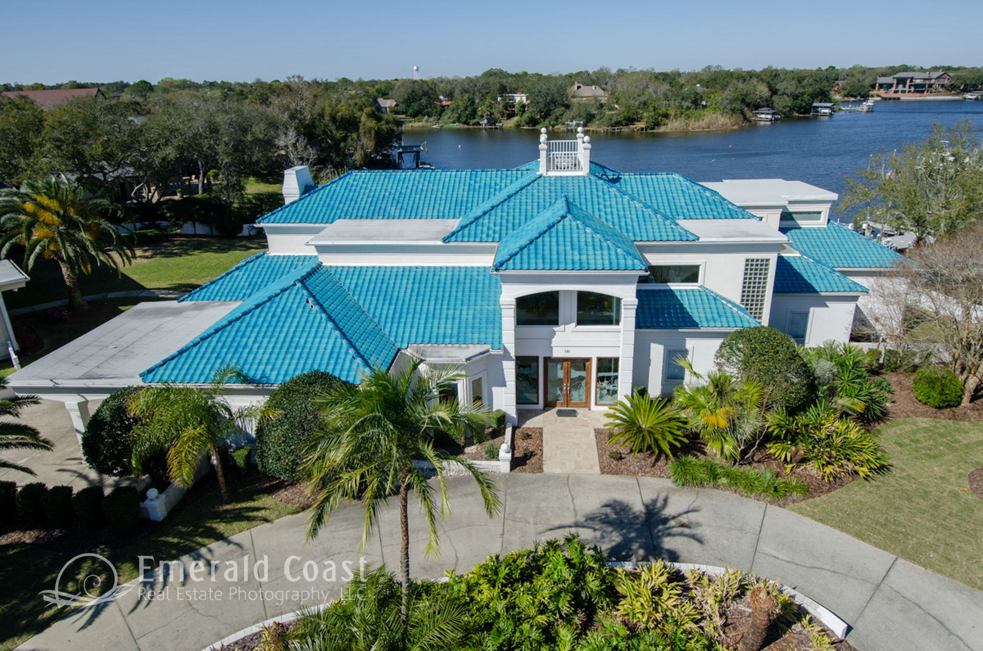
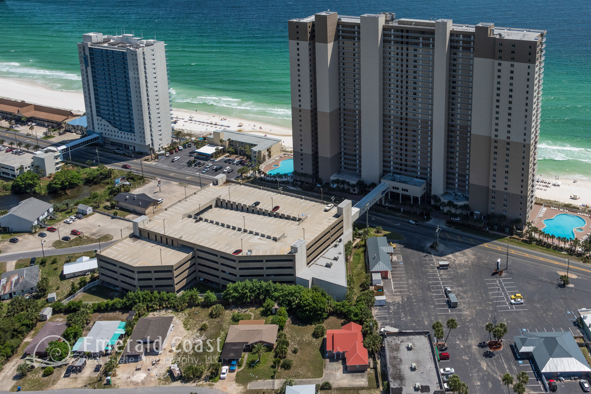
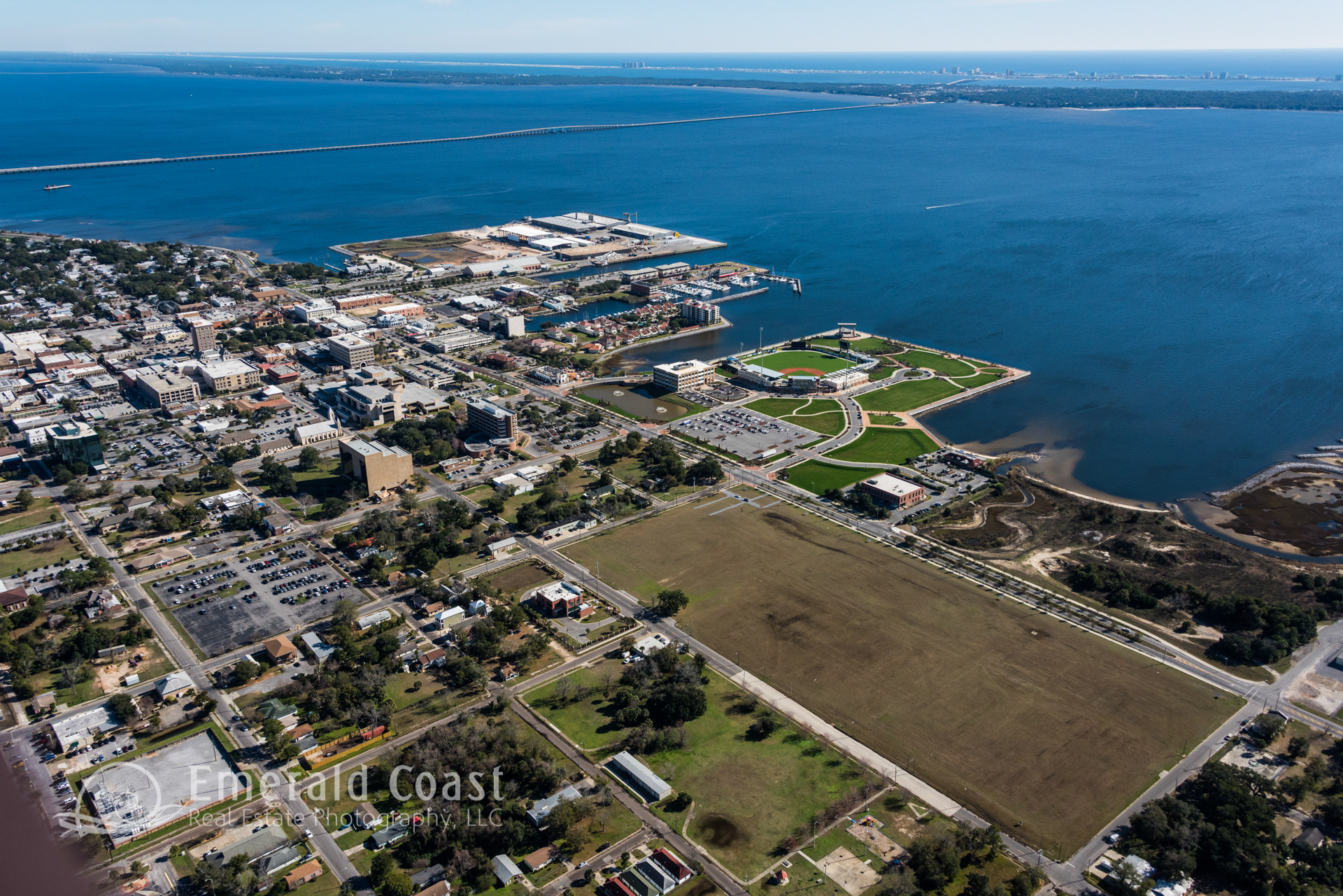
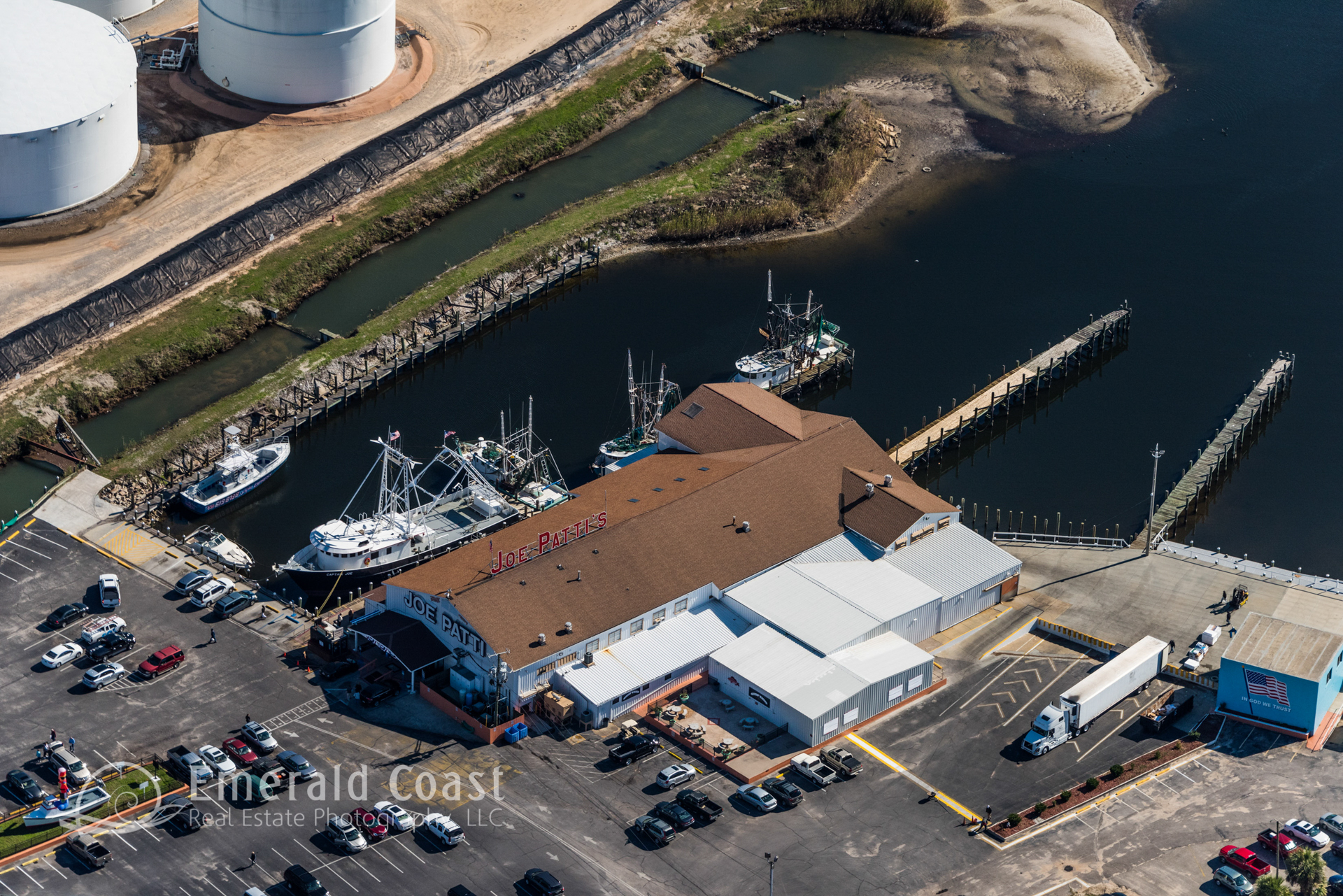
Flight Based Aerial Photography
Flight based aerial photography offers views from above that are valuable to the Construction Industry, Architects, Engineers, Developers, Realtors,, Surveyors, and Government and Law Enforcement Agencies.
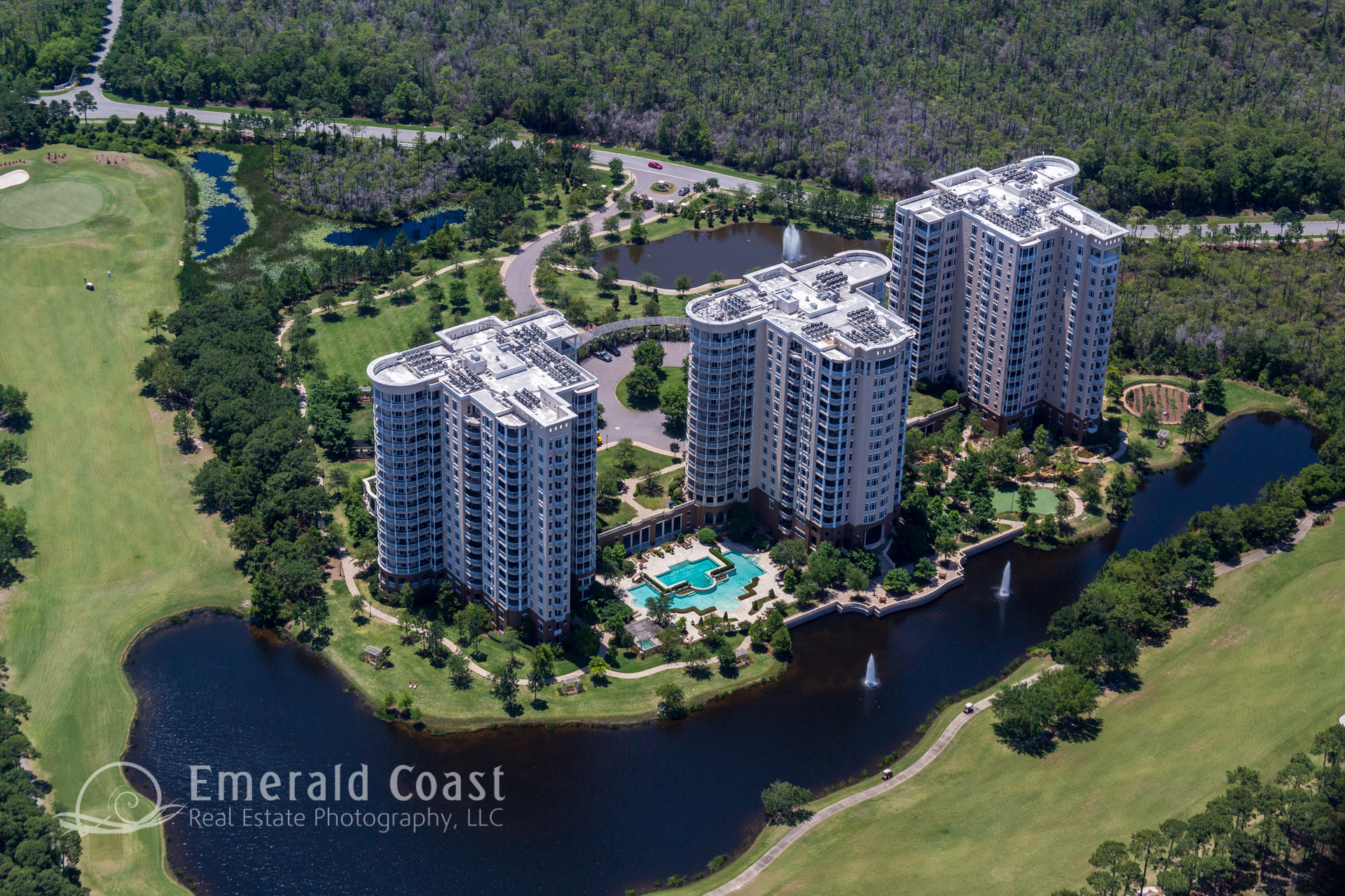
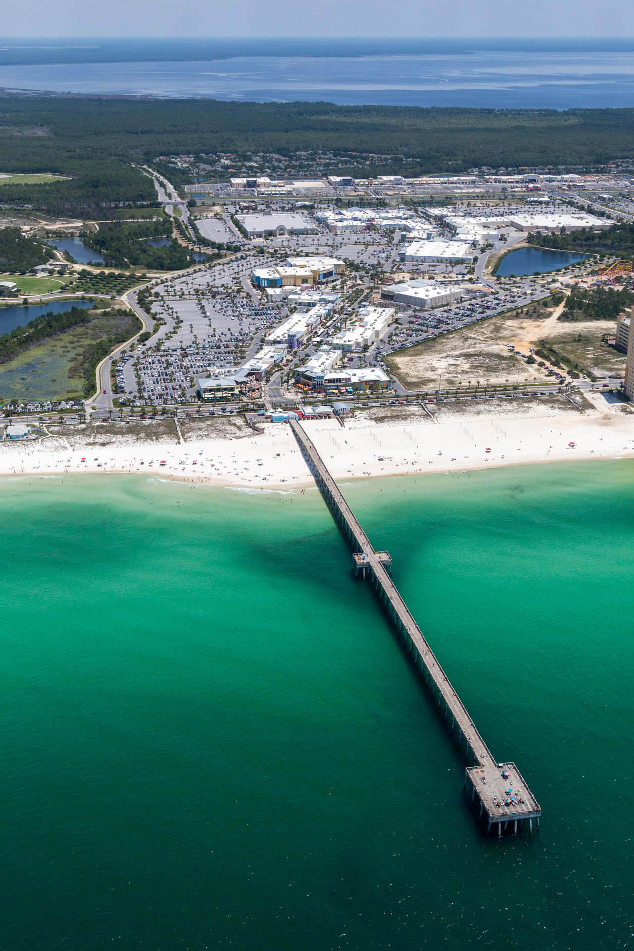
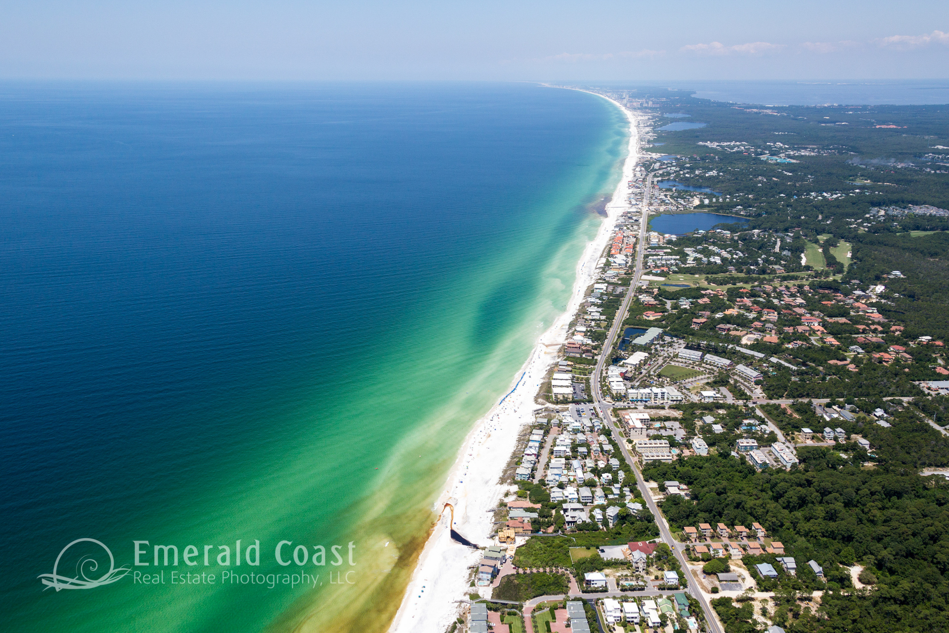
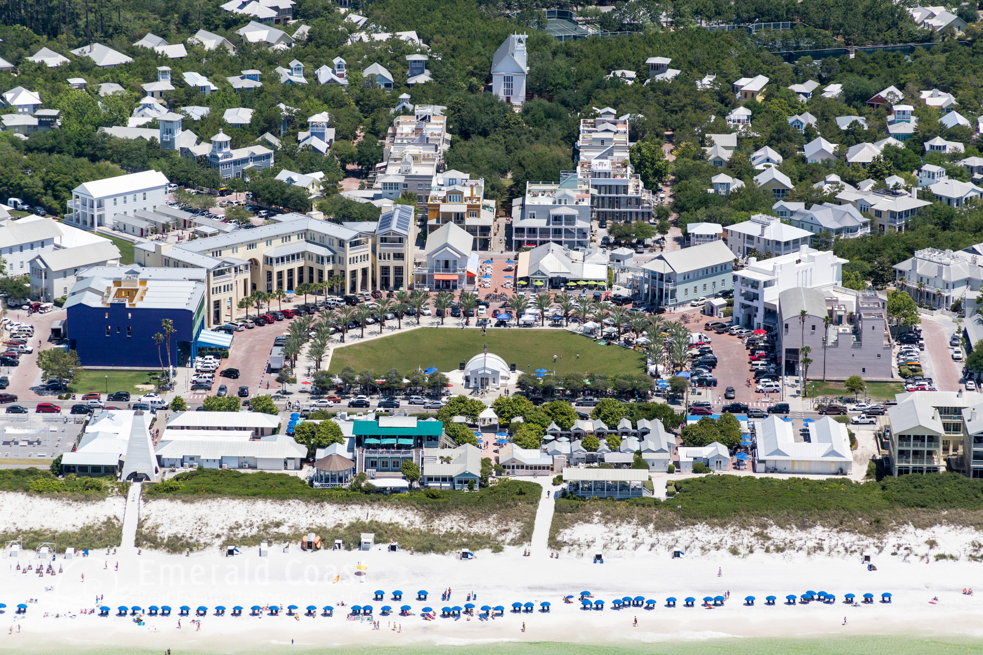
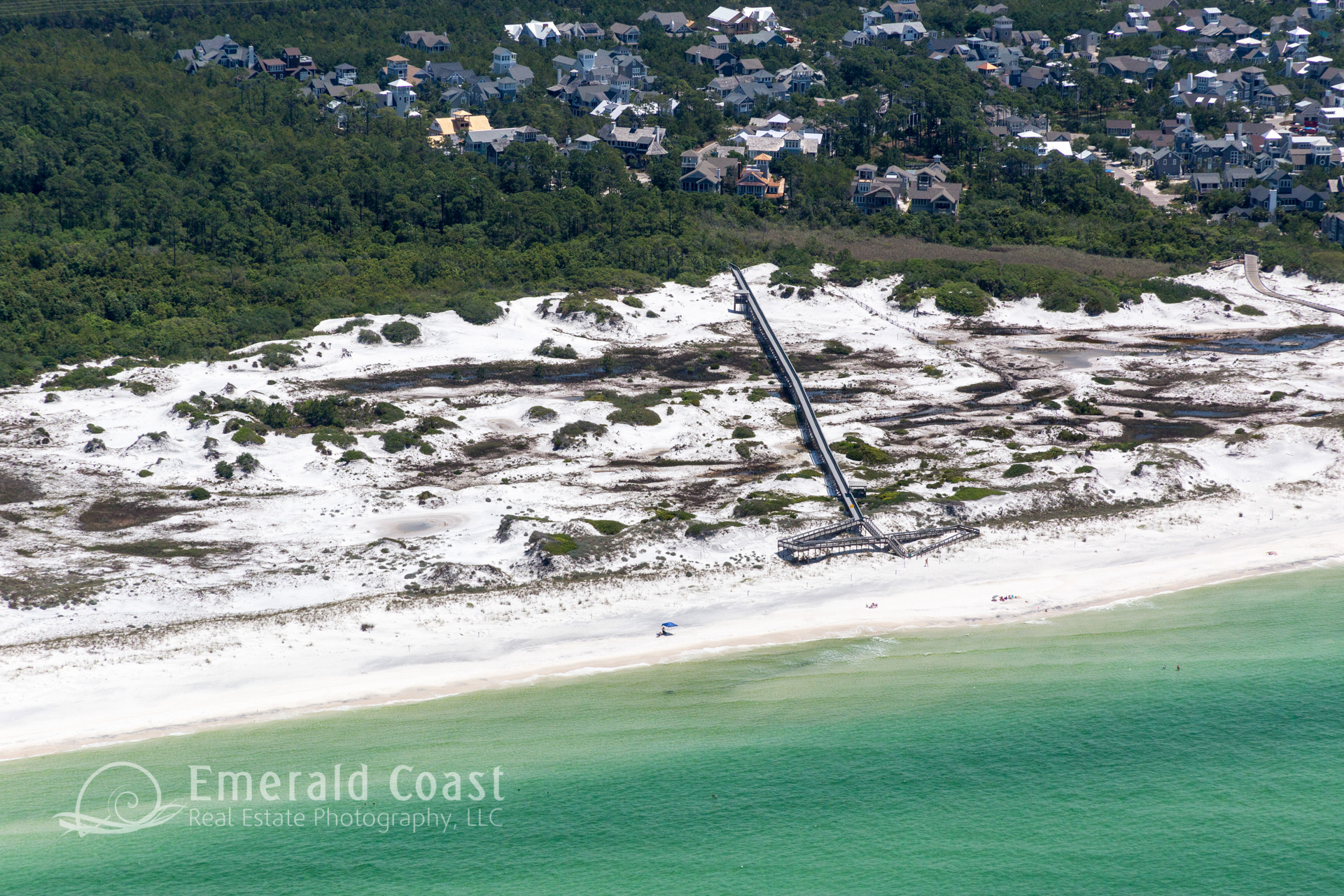
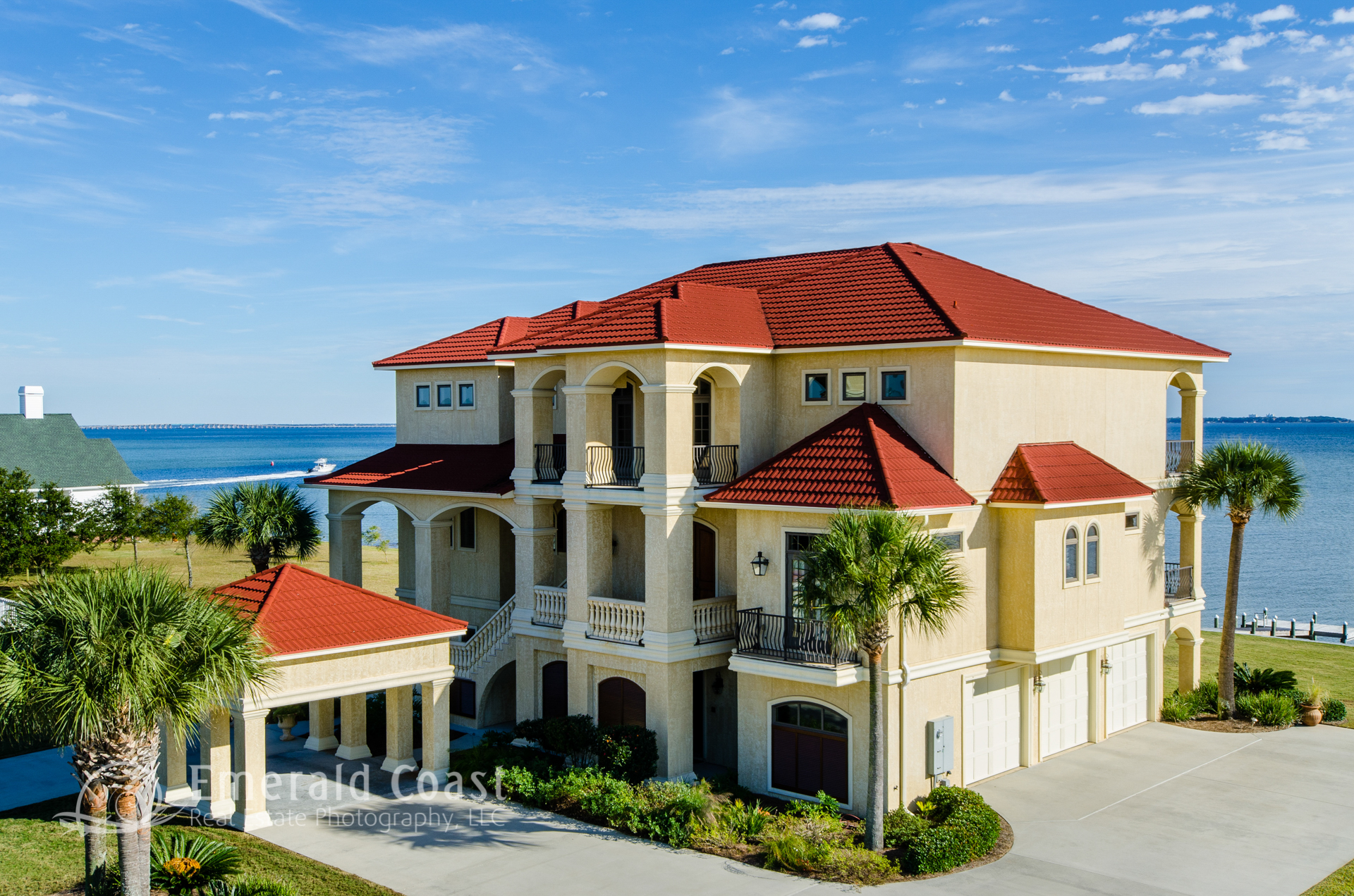
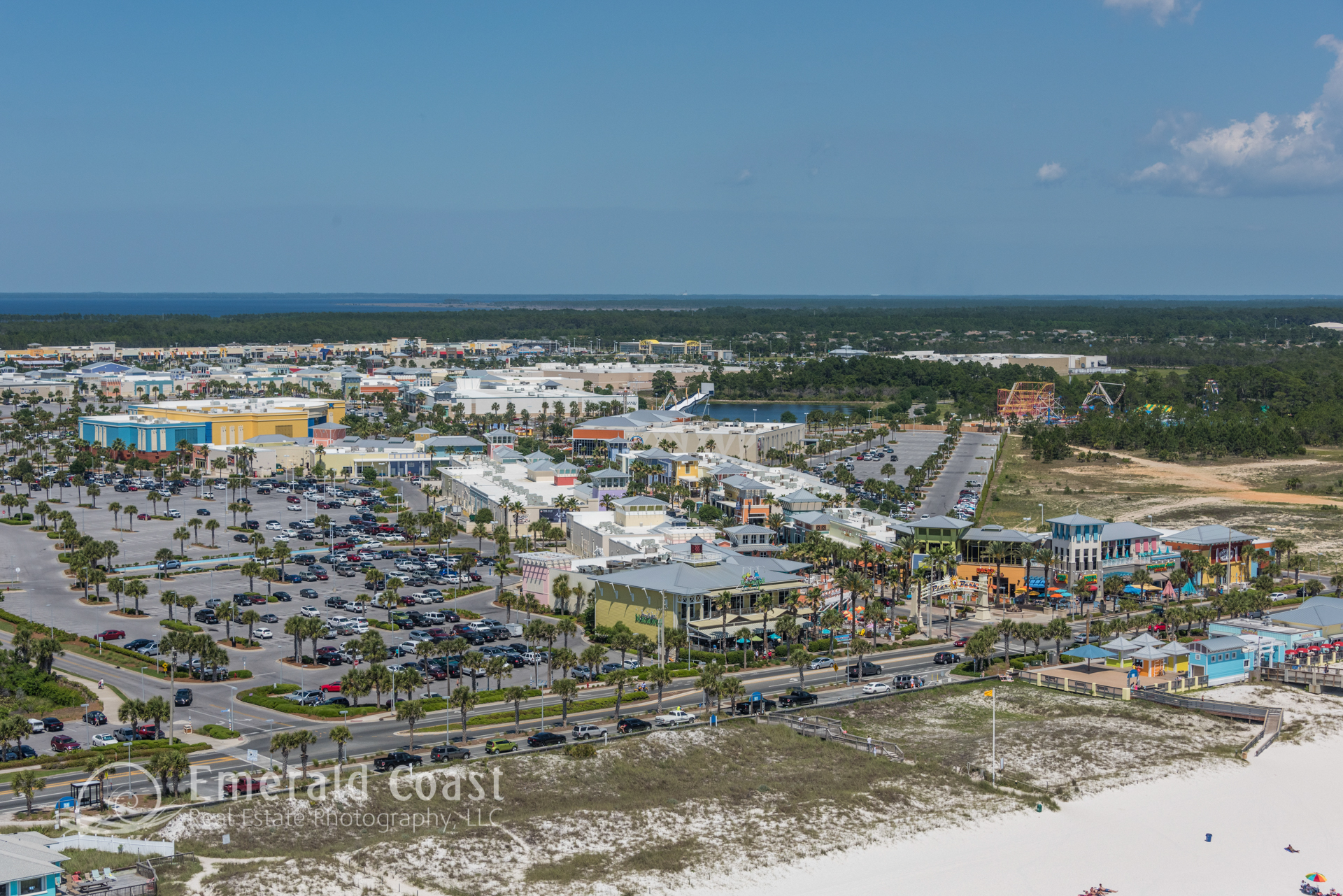
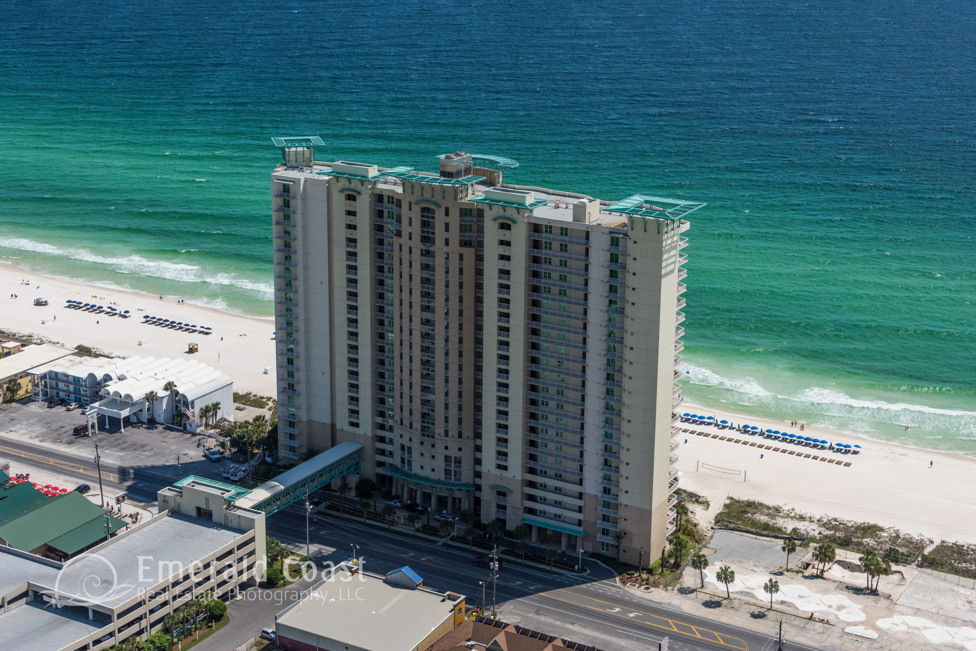
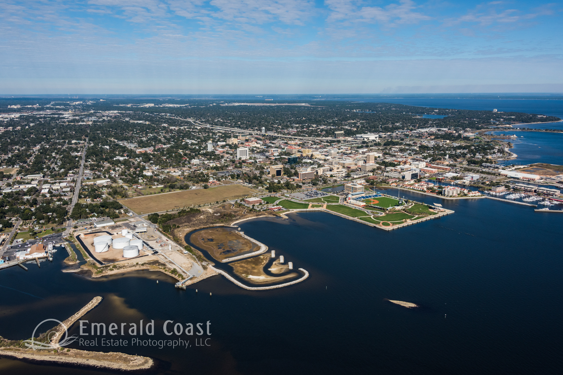
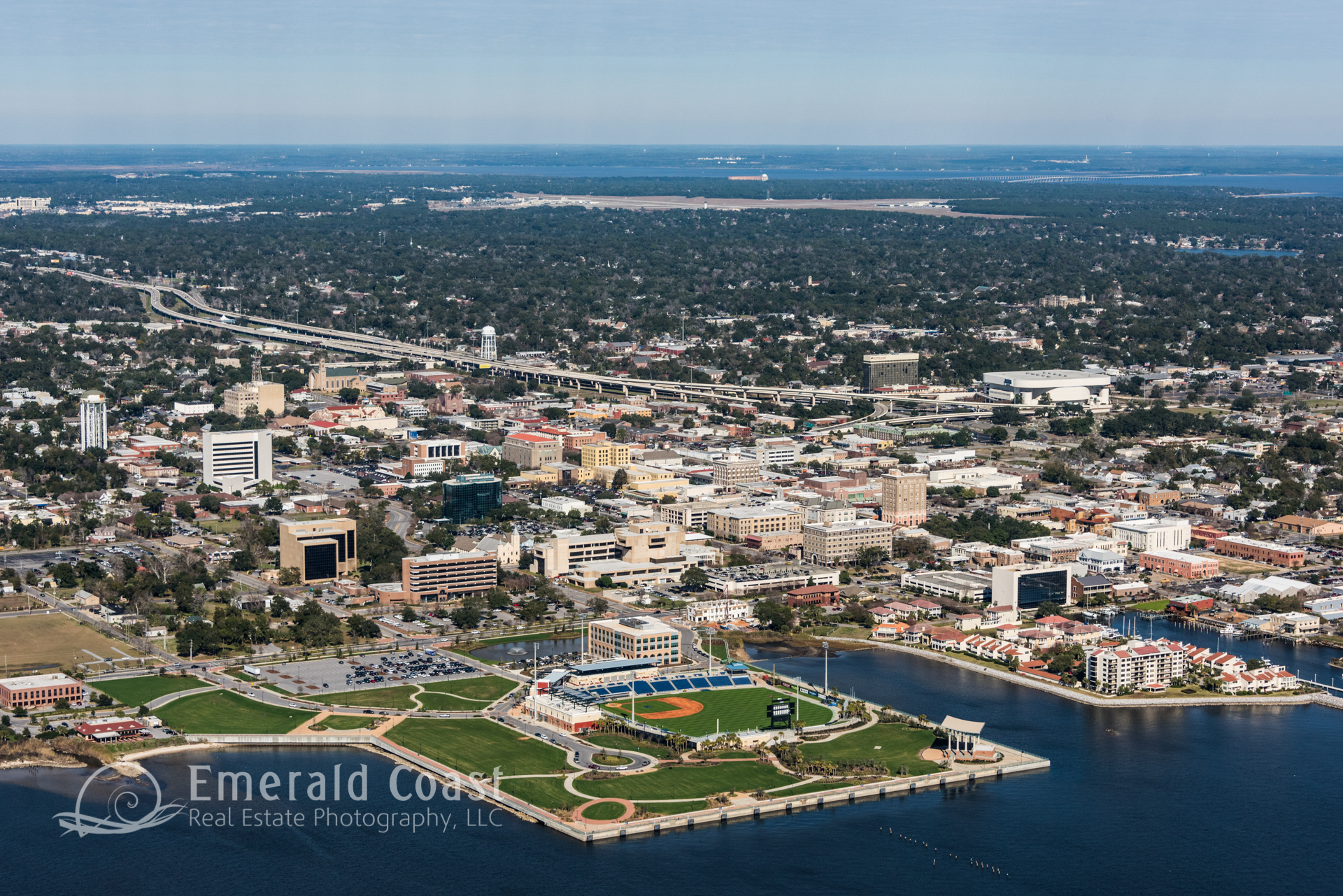
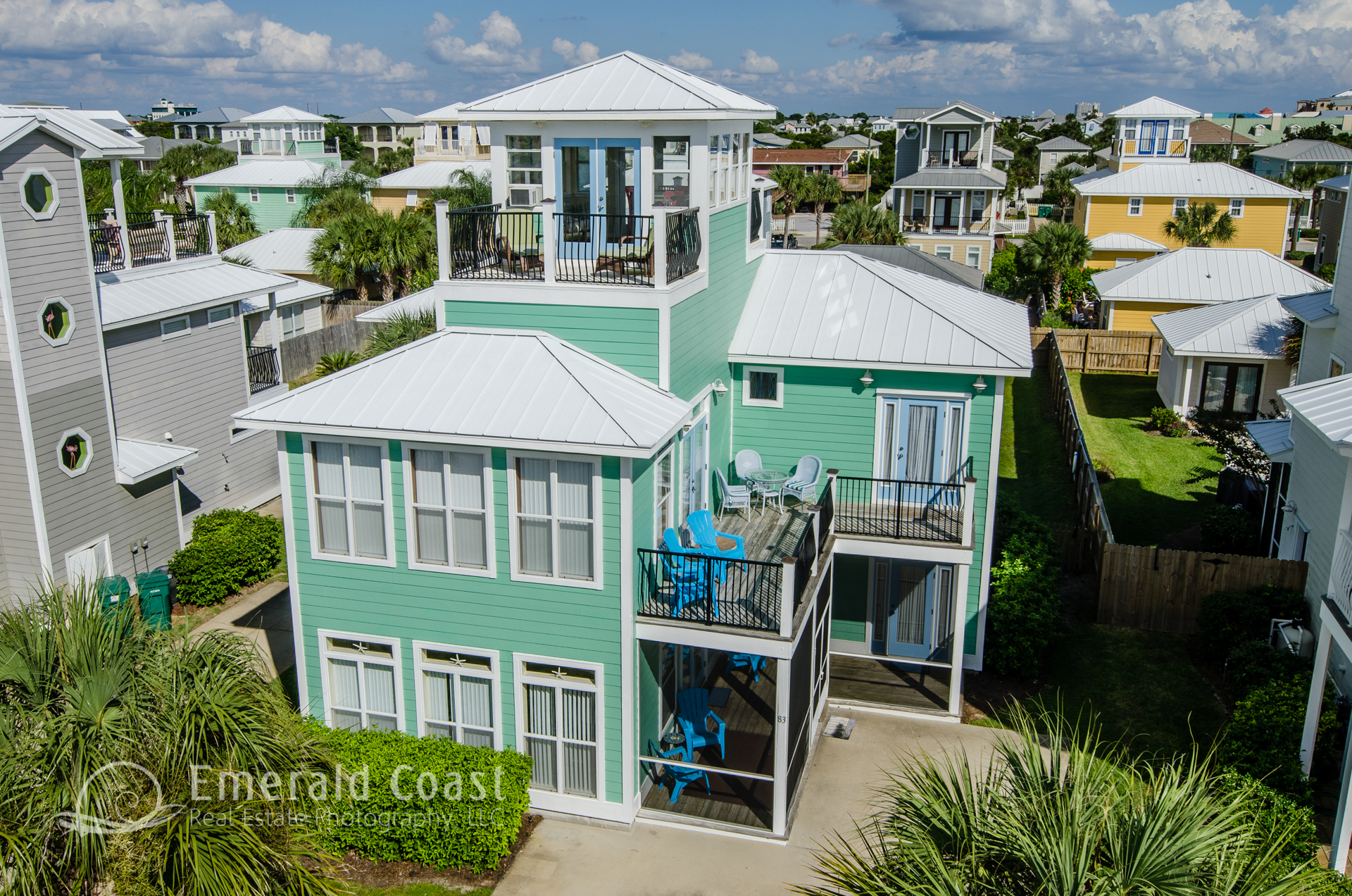
Aerial photography can show a property’s proximity to major highways, freeways, secondary roads, parking, shopping, and neighborhoods.
In addition, Aerial images can be enlarged for presentations; to highlight street names, property lines and other pertinent information.
For the Construction Industry, Development, and Planning, flight based aerial photography can provide a clear vertical image that shows an area as it looks now and not days, weeks, months or years ago. The imagery can focus on a single building or several acres at a time, providing great documentation of large projects or parcels, timber land, a large estate, even an entire development or neighborhood. And if you go back to the same site over the duration of several days or weeks, one can track the progress of a construction project. We can typically make bi-weekly, monthly or quarterly flights to document the progress of any given project.
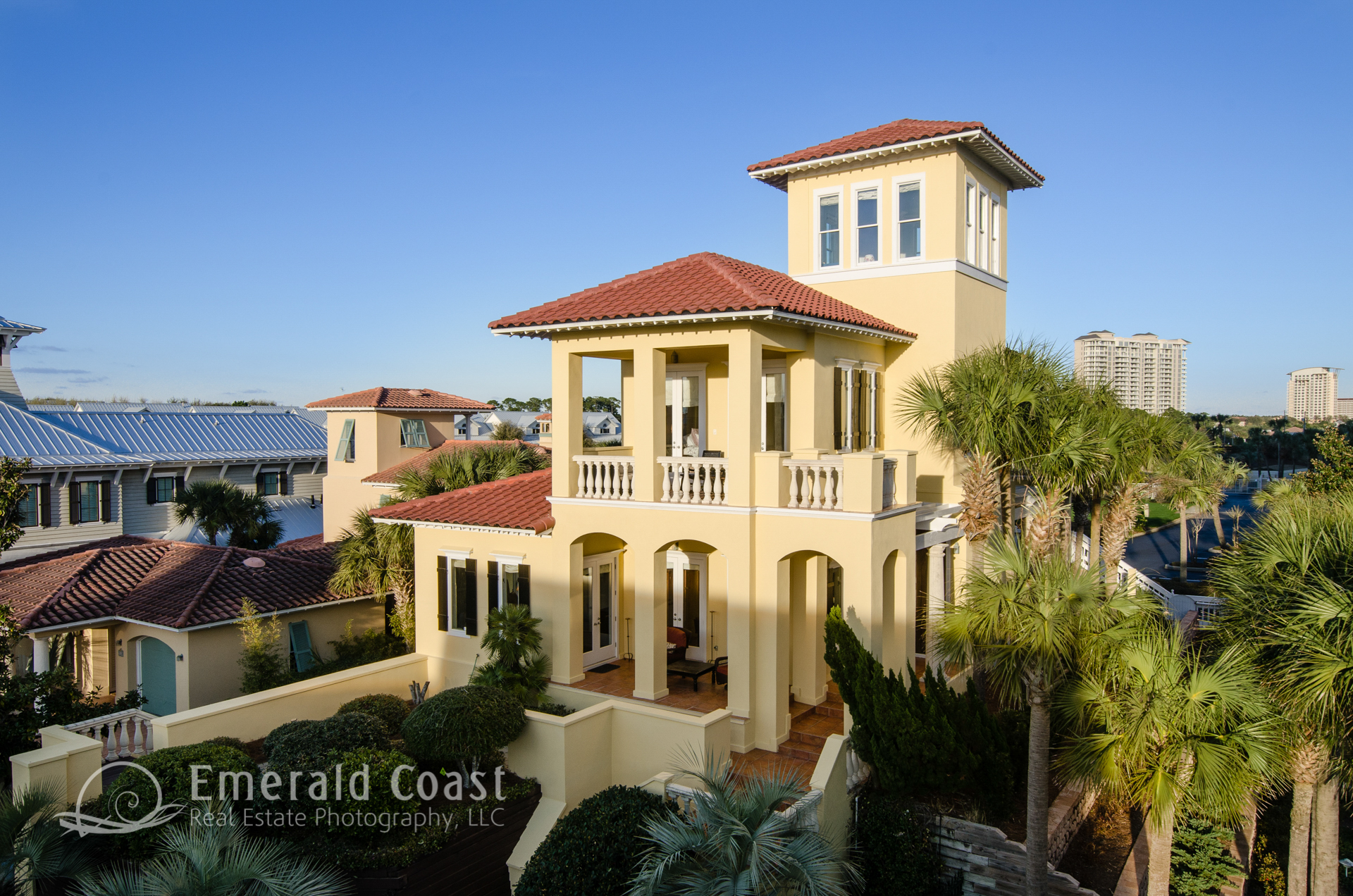
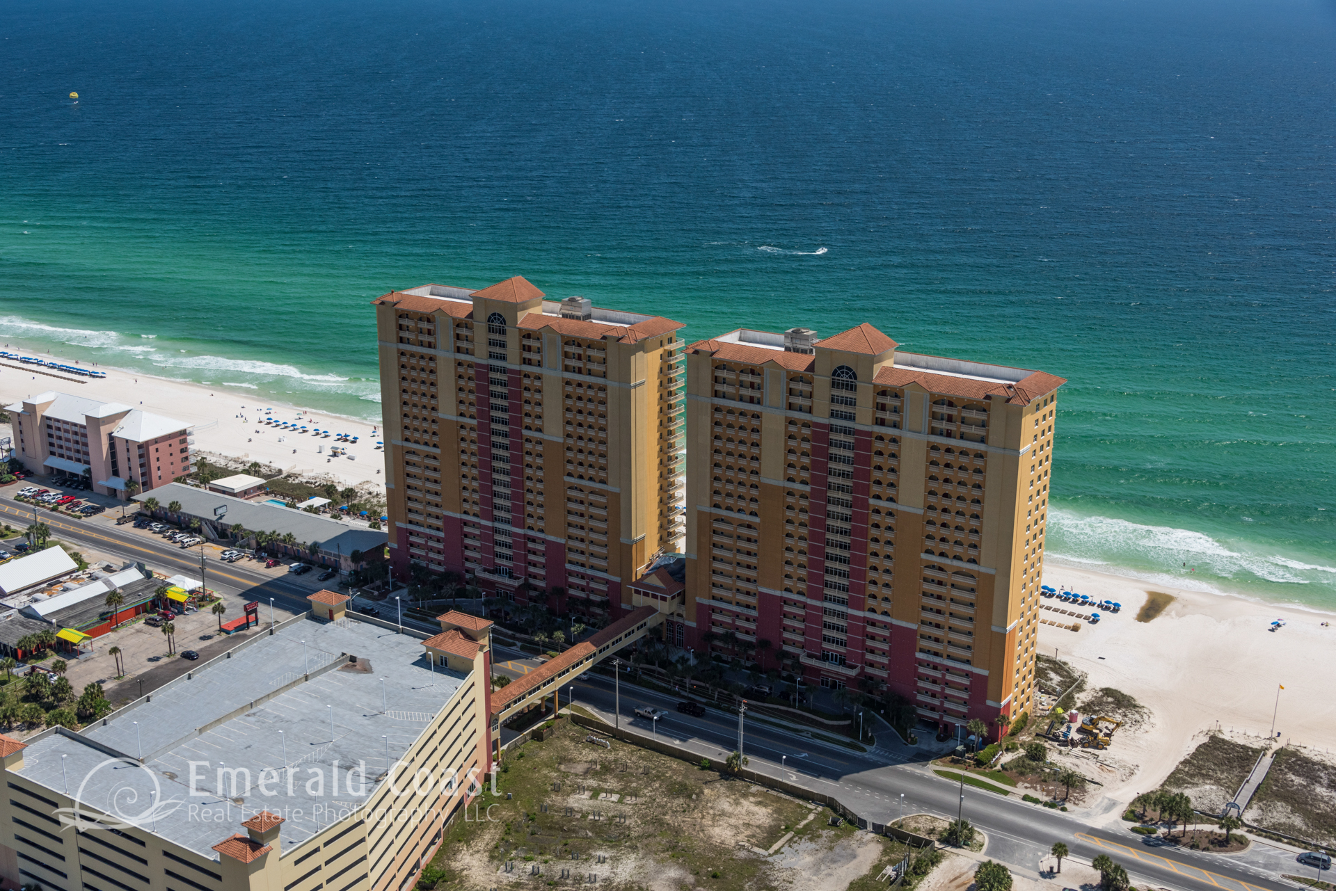
Flight based aerial photography also provides unique marketing imagery, helping to promote an event, a business, or venue. This unique view of the world from an aerial perspective will draw attention to the property in promotional materials and marketing campaigns.
 SHOW DESCRIPTION
 SHOW DESCRIPTION
 SHOW DESCRIPTION
 SHOW DESCRIPTION
 SHOW DESCRIPTION
 SHOW DESCRIPTION
 SHOW DESCRIPTION
 SHOW DESCRIPTION
 SHOW DESCRIPTION
 SHOW DESCRIPTION
 SHOW DESCRIPTION
 SHOW DESCRIPTION
 SHOW DESCRIPTION
 SHOW DESCRIPTION
 SHOW DESCRIPTION
 SHOW DESCRIPTION
 SHOW DESCRIPTION
 SHOW DESCRIPTION
 SHOW DESCRIPTION