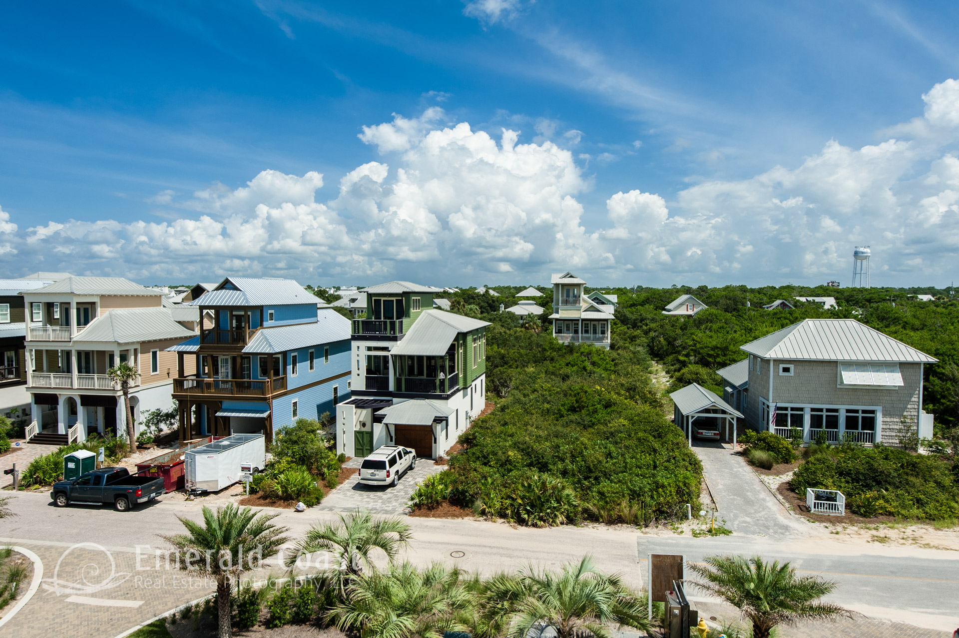
Vacant Lots
Highlight your buyer’s future homesite with low altitude aerial photography. Our unique land based aerial photography system allows us to include the unique features of the property as well as give an overall view of the houses and features of the neighborhood. The 360 degree aerial panoramas we produce give an accurate and high definition view of the neighborhood. You no longer have to rely on outdated, low resolution imagery from Google. Our overlay work can give the buyer a sense of where the lot is in relation to key features of the neighborhood.
Aerial Photography – Pre Construction Photography
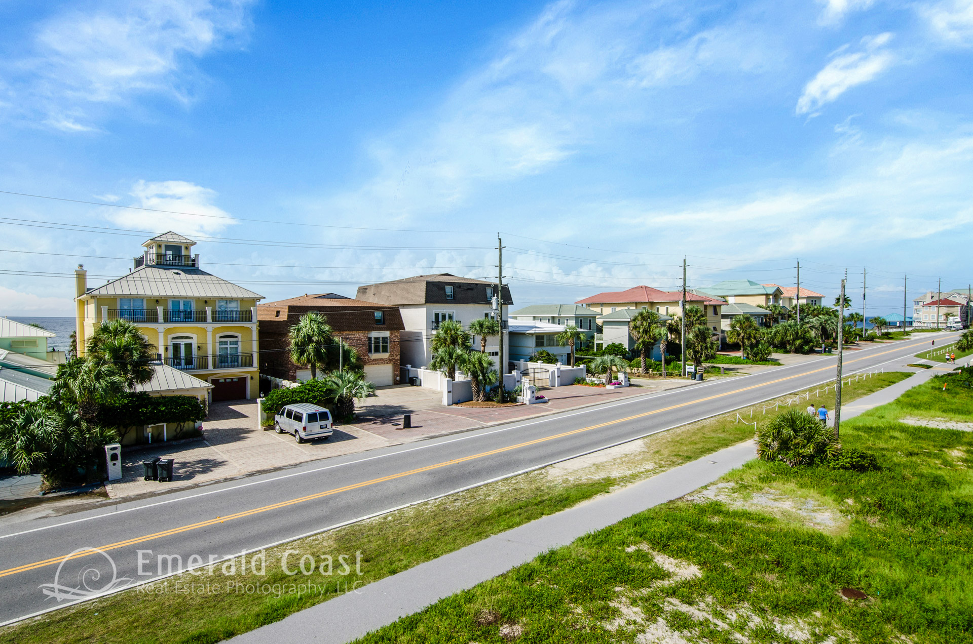
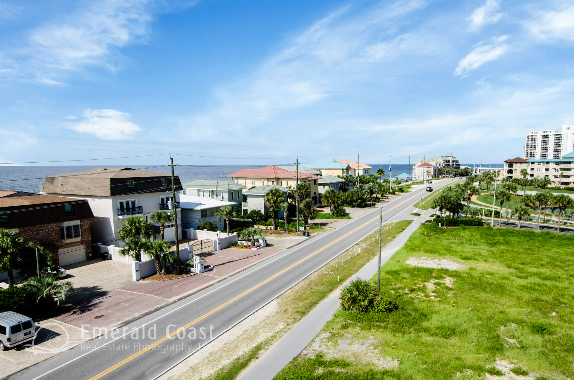
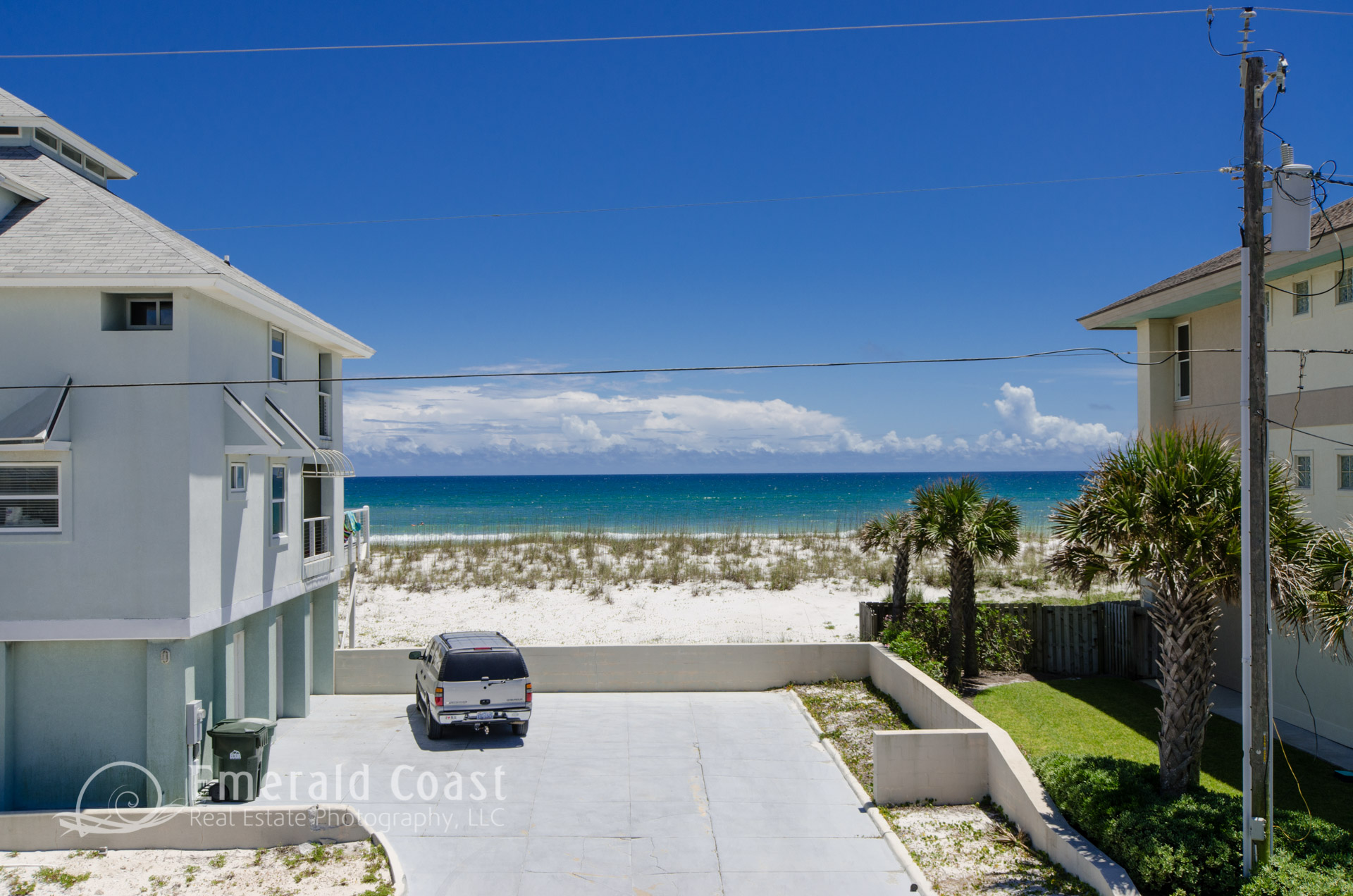
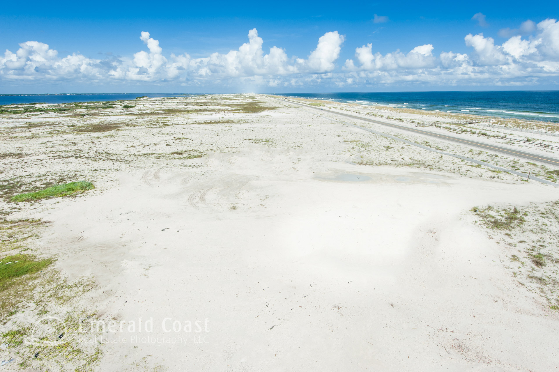
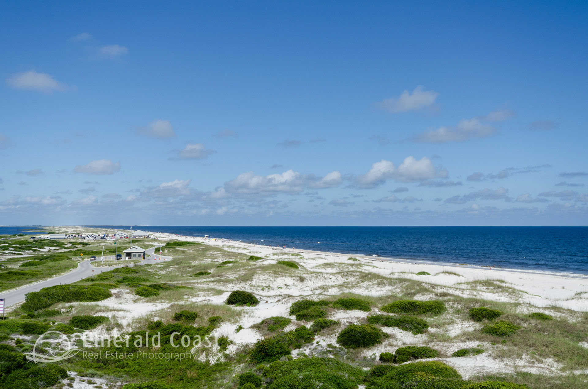
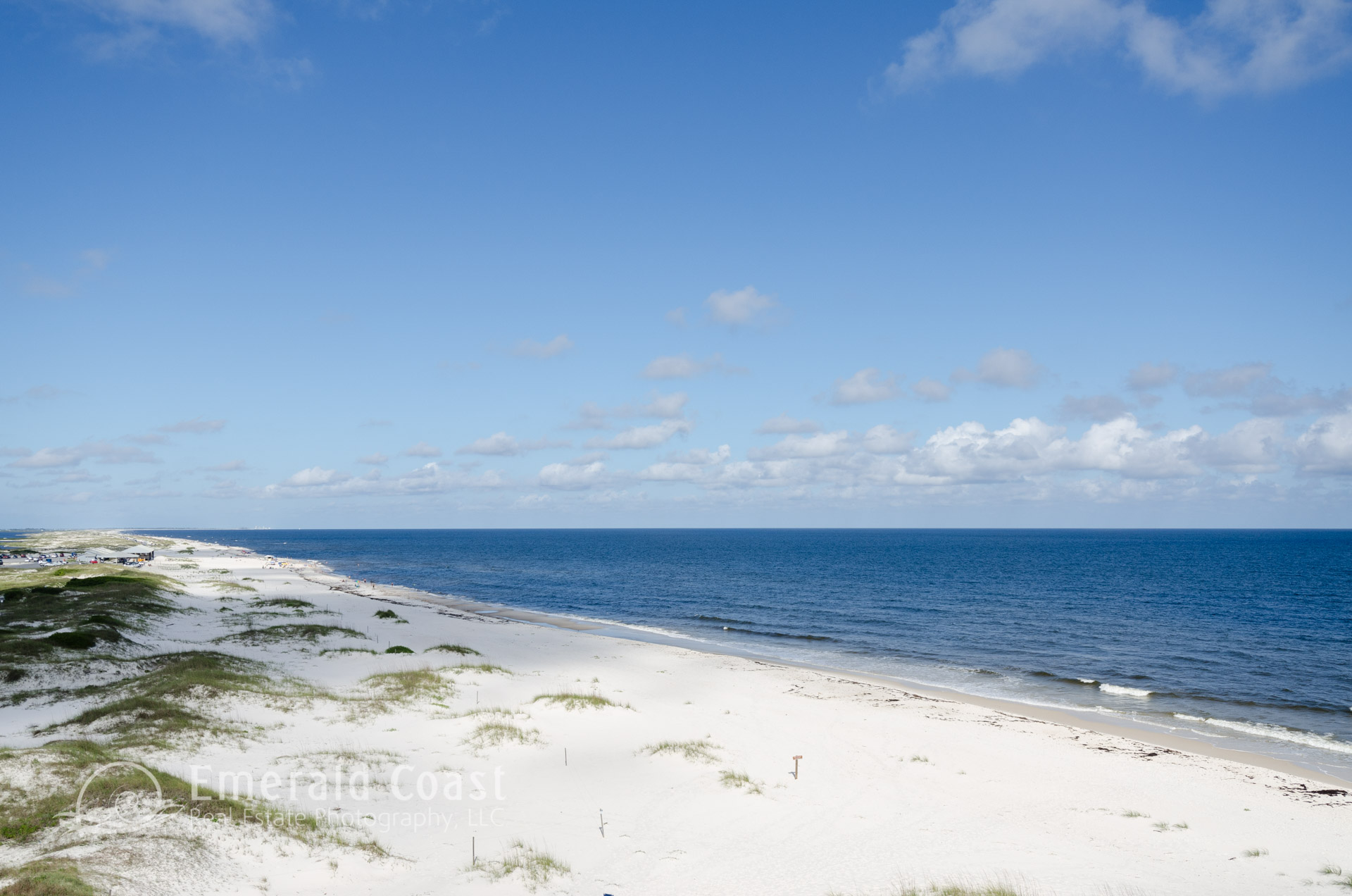
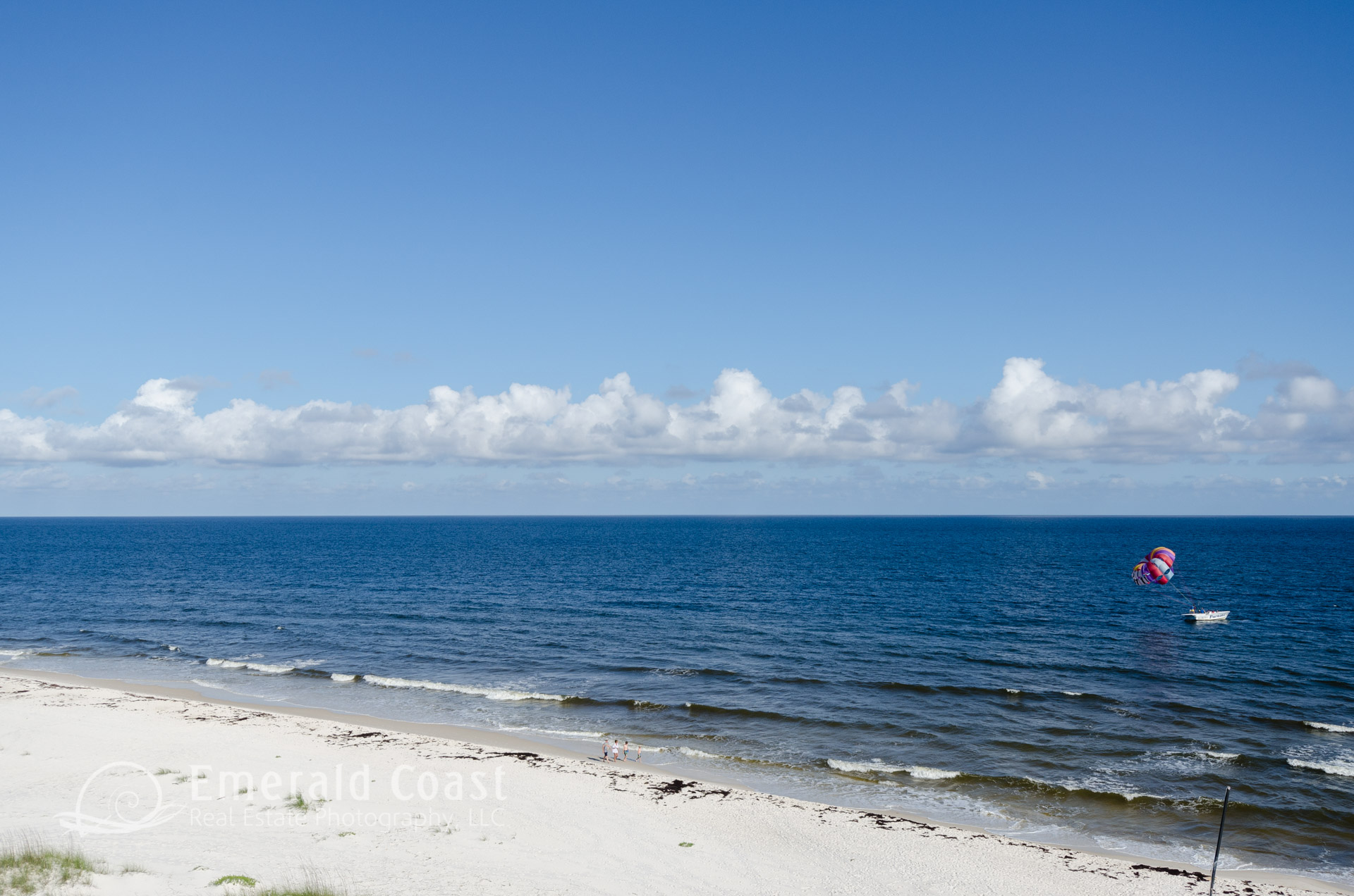
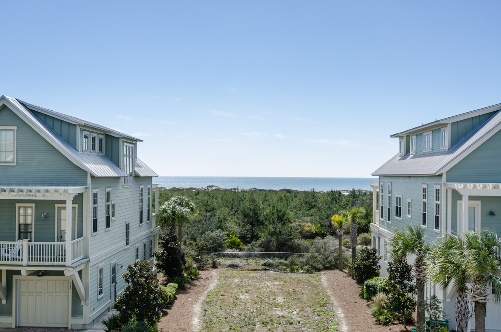
Aerial photography of an undeveloped parcel can serve many purposes. Low altitude aerial photography can be captured from specific locations on site at elevations of 12’ to 50’ feet, providing marketing imagery that will approximate the views from the 2nd, 3rd, 4th, and occasionally the 5th floor elevations of the completed project.
These images are great for site selection and lot clearing decisions. They are often used as a background for architectural renderings and views out of the windows and doors of the renderings.
One of the most valuable uses of Low-Altitude Aerial Photography is for pre-sale marketing, enabling the sales and marketing team to show the views before breaking ground on the project.
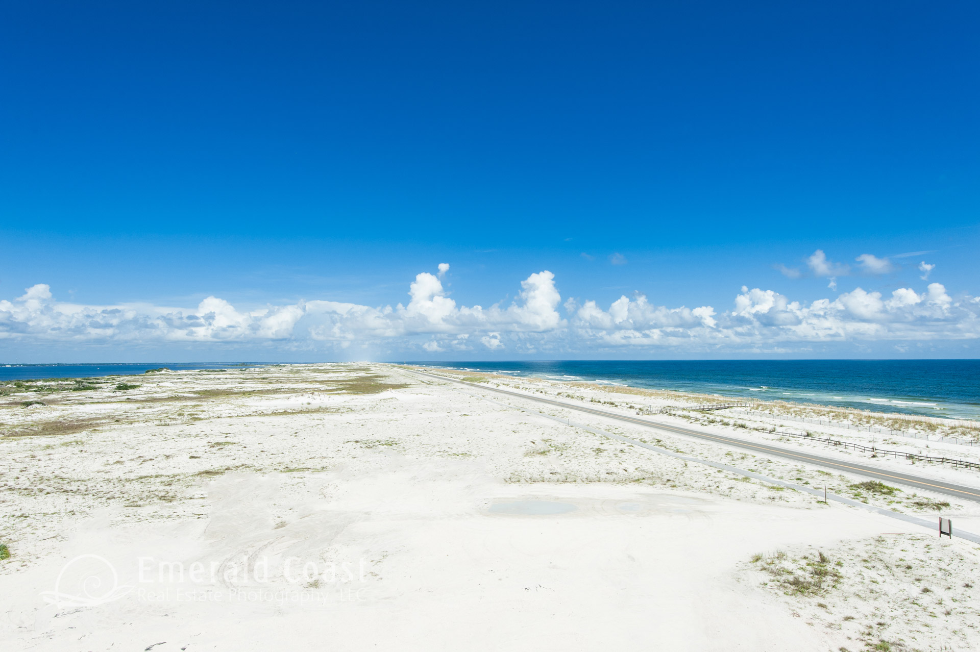
Flight based aerial photography can easily capture the size and scope of larger parcels, aiding the site selection, investment, and lot/land clearing phases of the development process. The aerial images can be enhanced with overlays and labels, highlighting surrounding streets, features or nearby parcels.